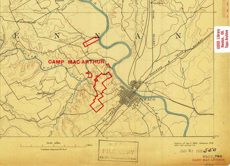
US Geological Survey Map (c. 1918)
This file appears in: Speegleville
The expansion of Lake Waco in the 1950s concerned Speegleville residents for many reasons. This map shows the location of Speegleville prior to the enlargement of the lake, just west of the city of Waco. The larger body of water required many citizens to uproot homes and businesses, as well as the relocation of several other institutions such as the Speegleville School, the local Baptist church, and Greenwood Cemetery.
This file appears in: Speegleville
Speegleville
Two years after Texas became a republic in 1836, Israel Washington Speegle formed a wagon train in Tennessee with several of his brothers and his wife’s family members and moved to Texas. When Texas was admitted to the union in 1845, McLennan County…
